L o a d i n g
Organization
National Aeronautics and Space Administration - view all
Update frequencyunknown
Last updated3 years ago
OverviewMadagascarfire preventionsatellite datawildfires
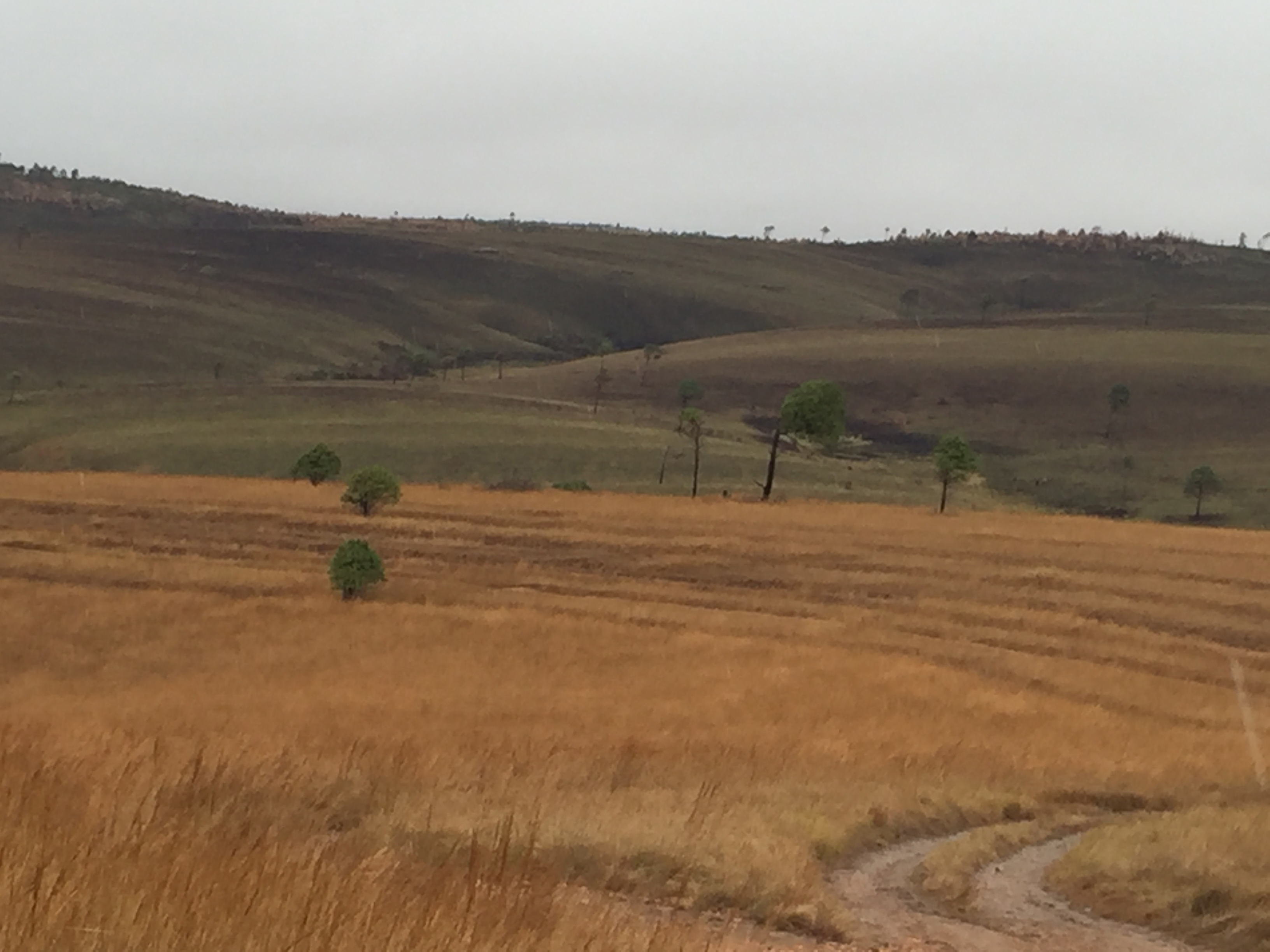
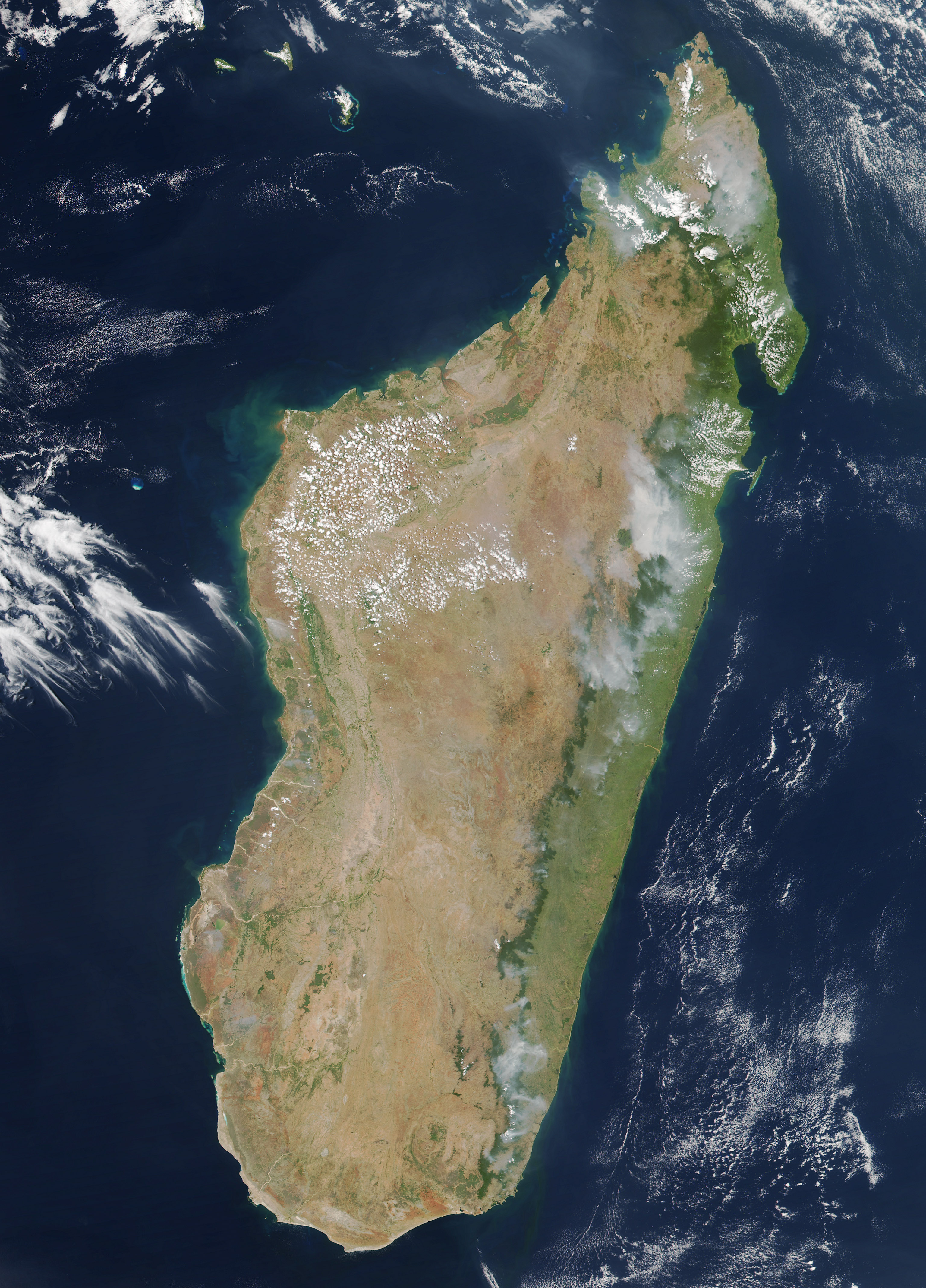
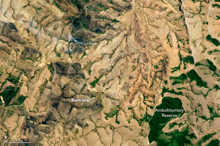
NASA Earth Observatory Image of the Day for August 9, 2016. Page discusses Firecast—a system to monitor and deliver alerts for active fires, fire risk, and deforestation in the tropics. The project’s web site and mobile application bring NASA satellite data to fire managers in areas that have traditionally relied on ground-based monitoring. Users can view maps of active fires, download daily fire risk forecasts, read reports of local fire activity, and see current activity in context with historical data.