L o a d i n g
Organization
Swiss Federal Institute for Forest, Snow and Landscape Research - view all
Update frequencyunknown
Last updated2 years ago
Overview3DDIGITAL SURFACE MODELIMAGE MATCHINGPHOTOGRAMMETYPOINT CLOUD
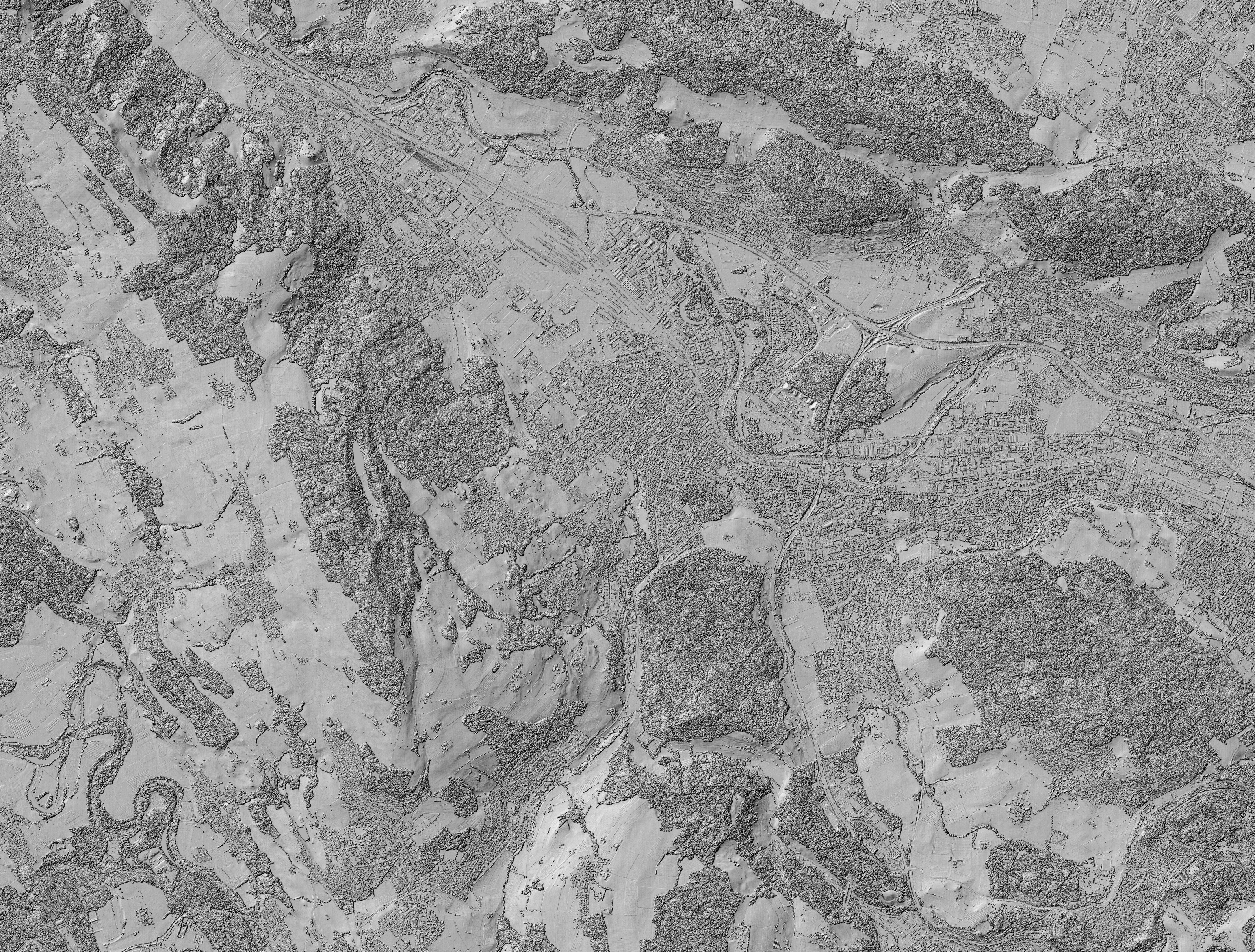
Hillshade of the digital surface model (DSM), calculated from digital aerial stereo images. The image data was acquired by the Federal Office of Topography swisstopo. The resolution of the DSM is 1 m x 1 m.
Additional Information
KeyValue
Harvest Object Idf2b3b03d-be11-4f4f-be6a-dc4f7b0ff33b
Harvest Source Id8fc5dcf9-738c-468f-985c-d55347a92f88
Harvest Source TitleEnviDat