OwnerNational Oceanic and Atmospheric Administration - view all
Update frequencyunknown
Last updatedover 1 year ago
OverviewGOES satellitesclimate dataimagery
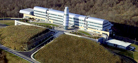
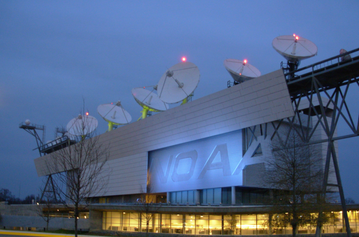
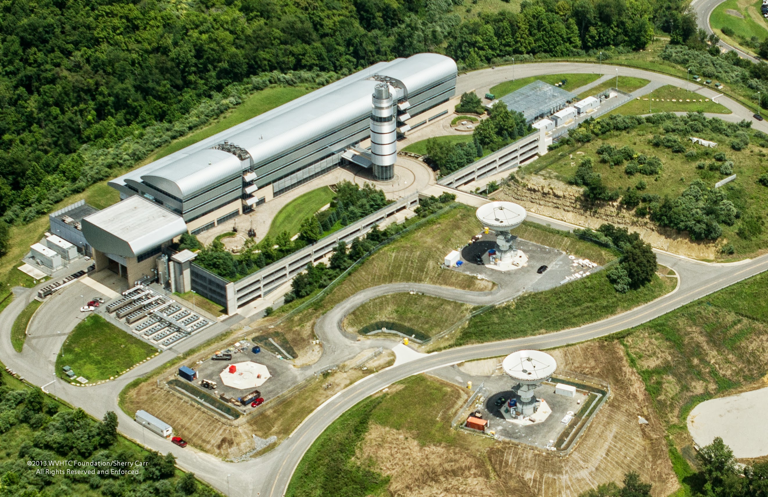
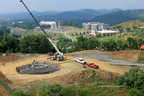
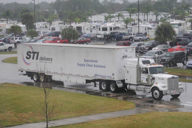
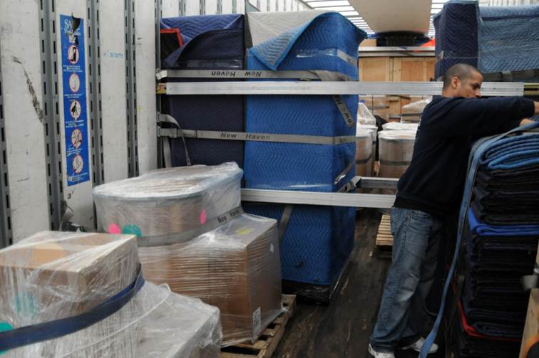
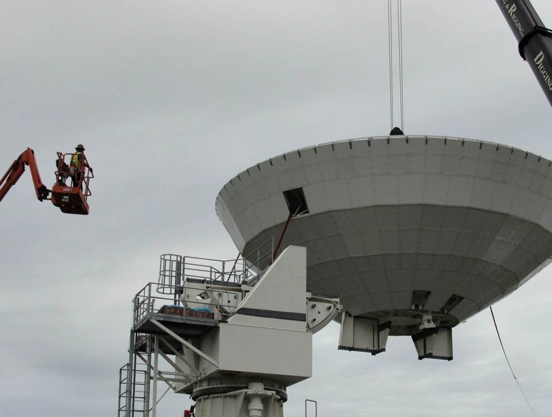
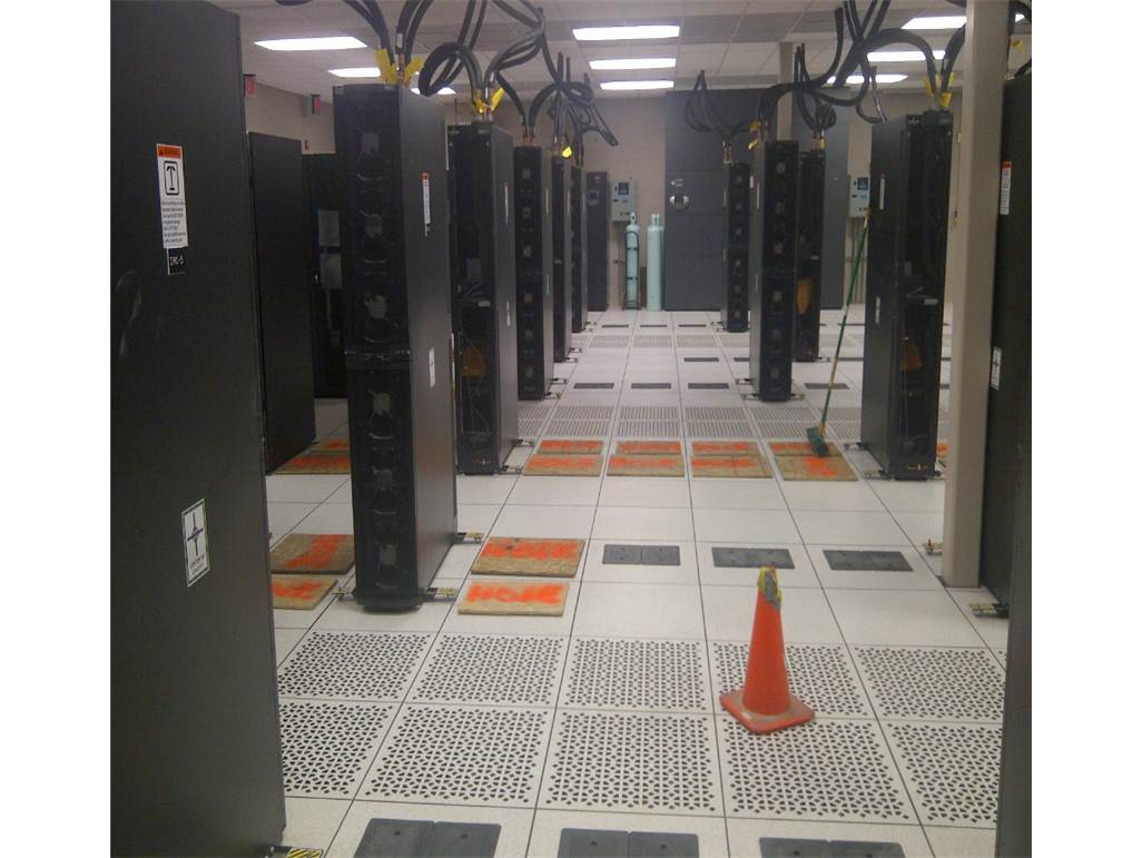
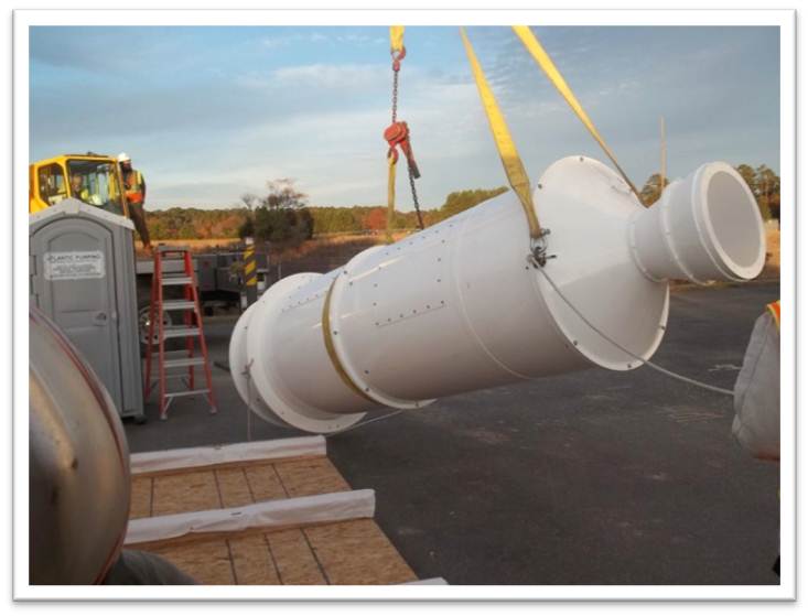
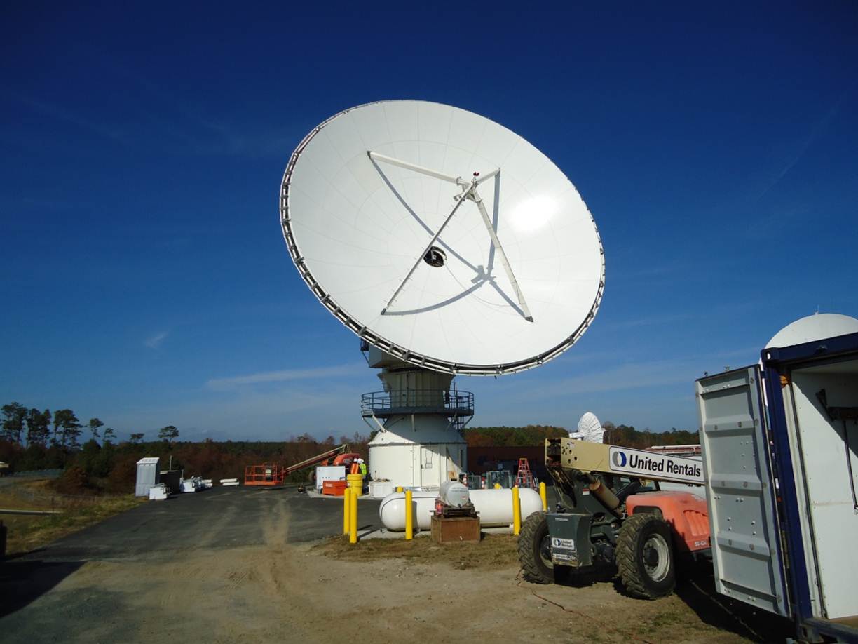
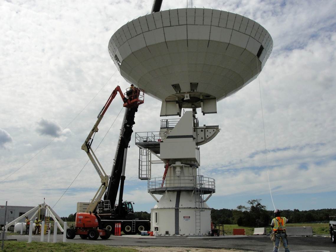
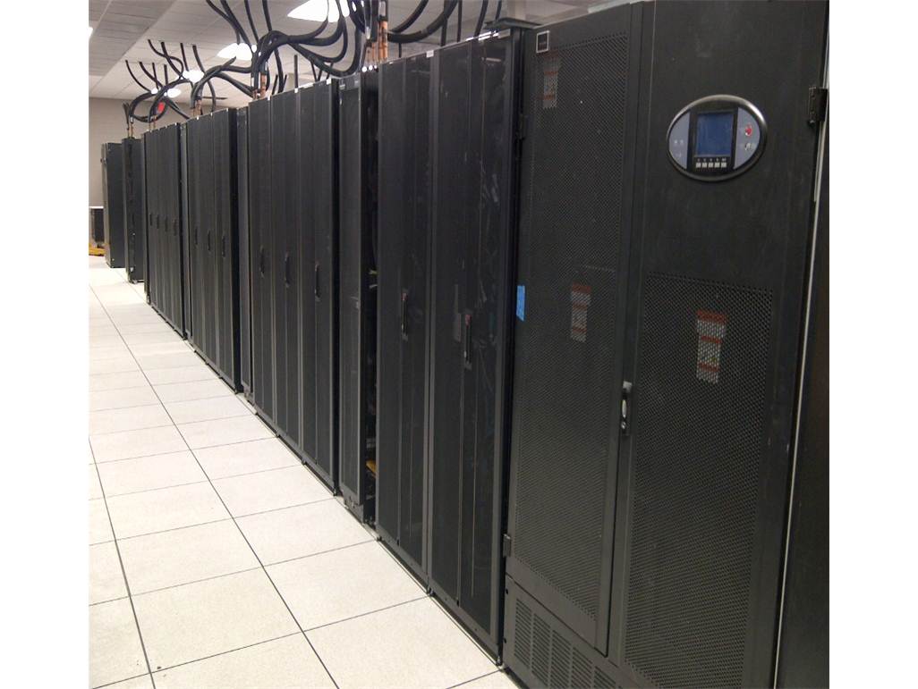
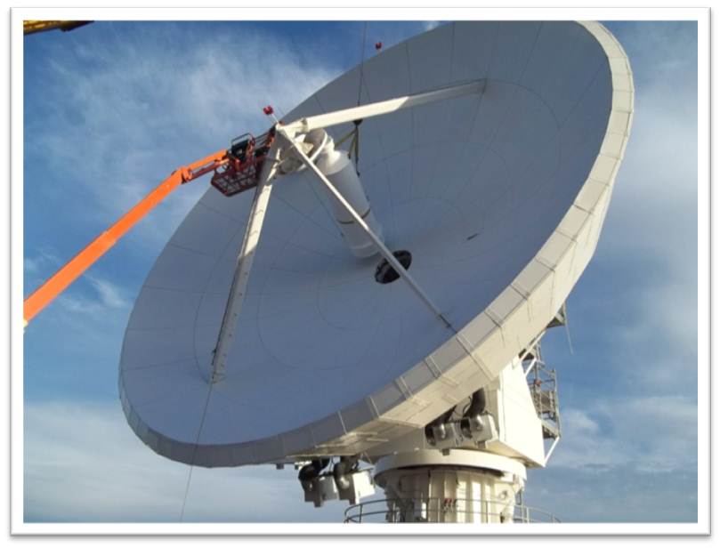
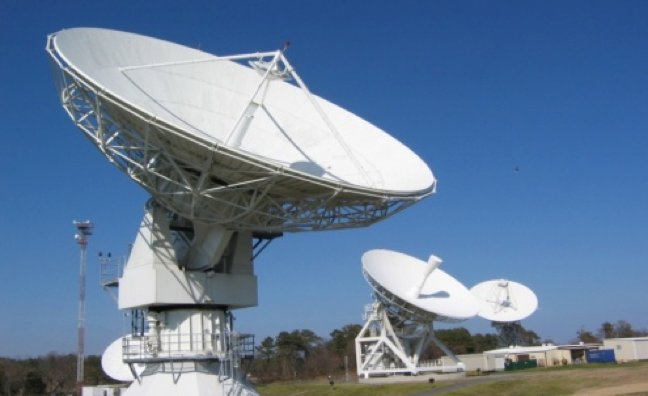
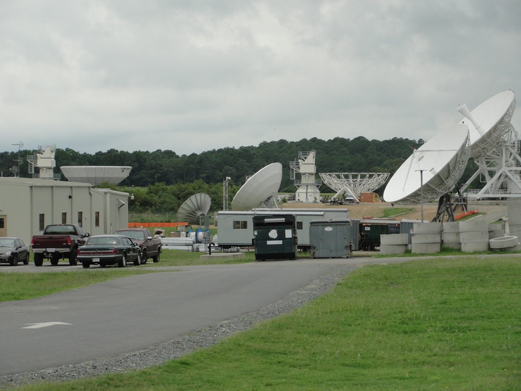
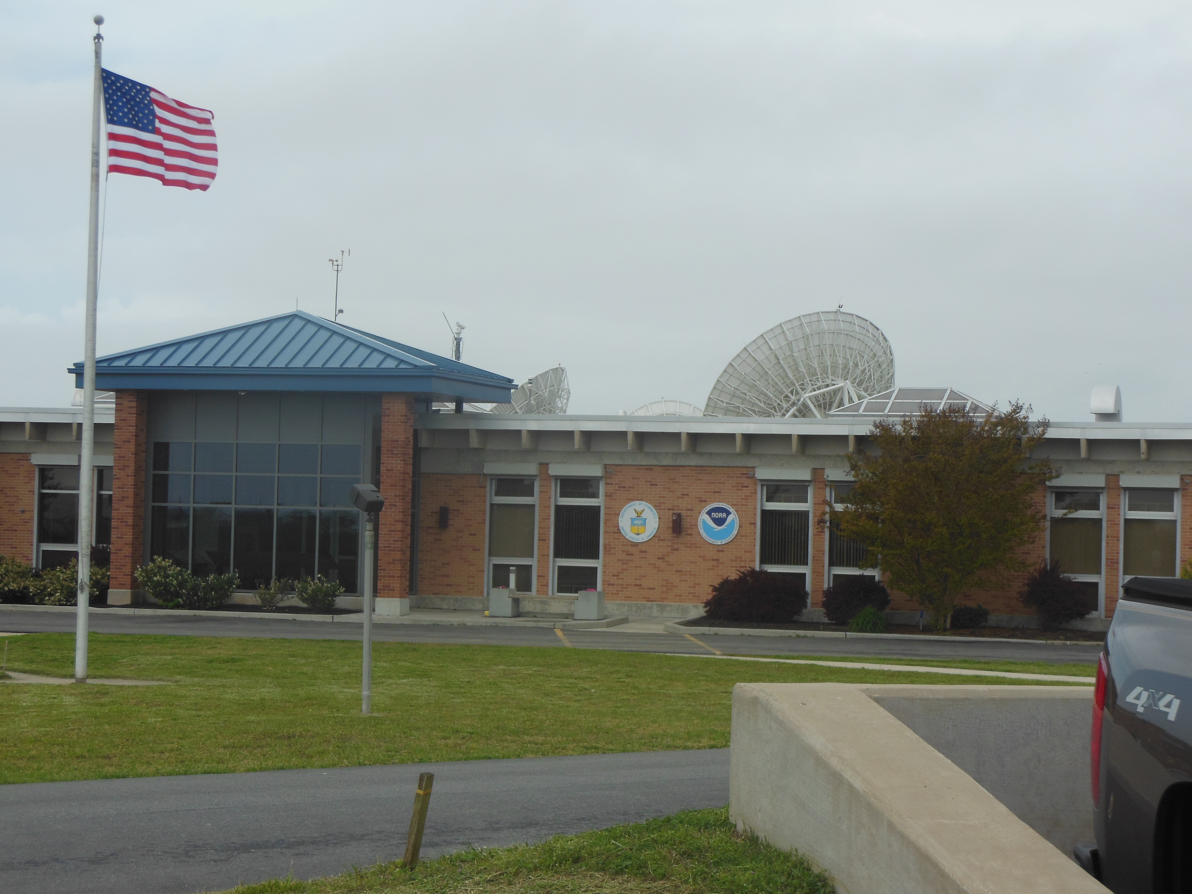
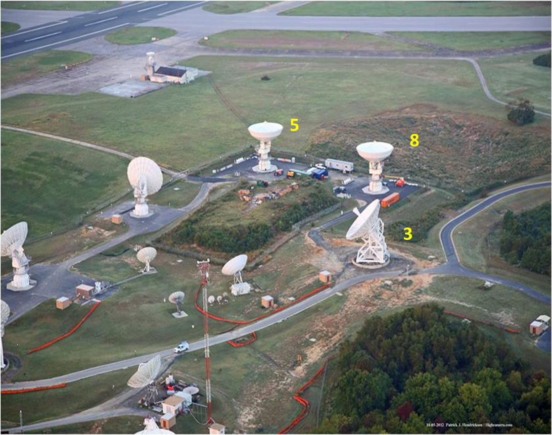
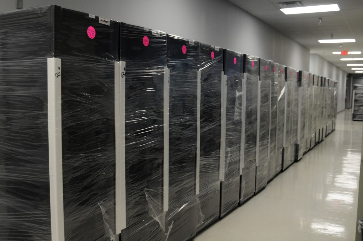
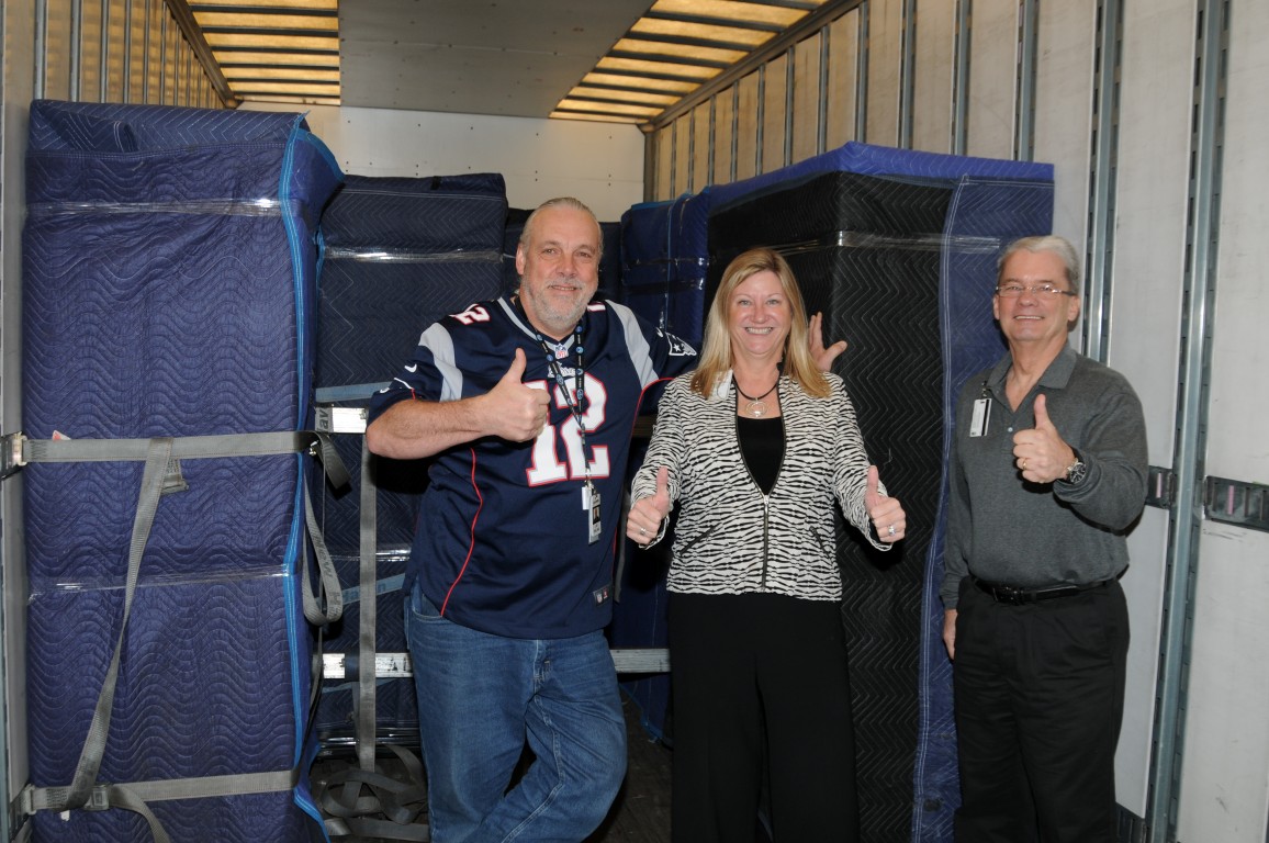
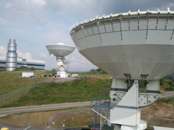
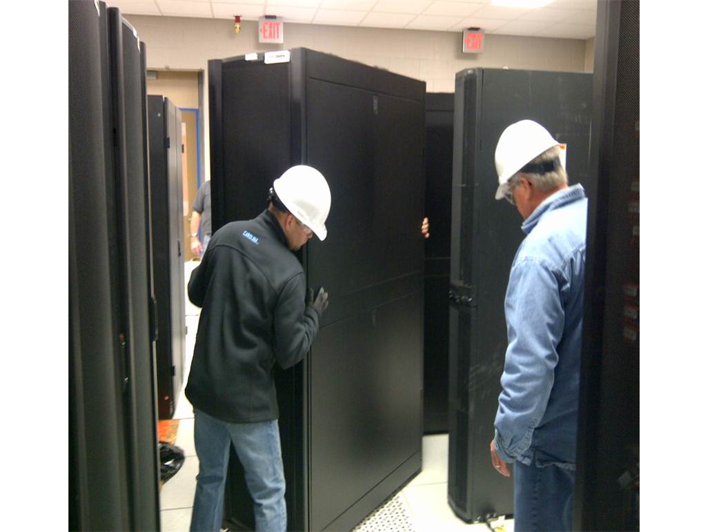
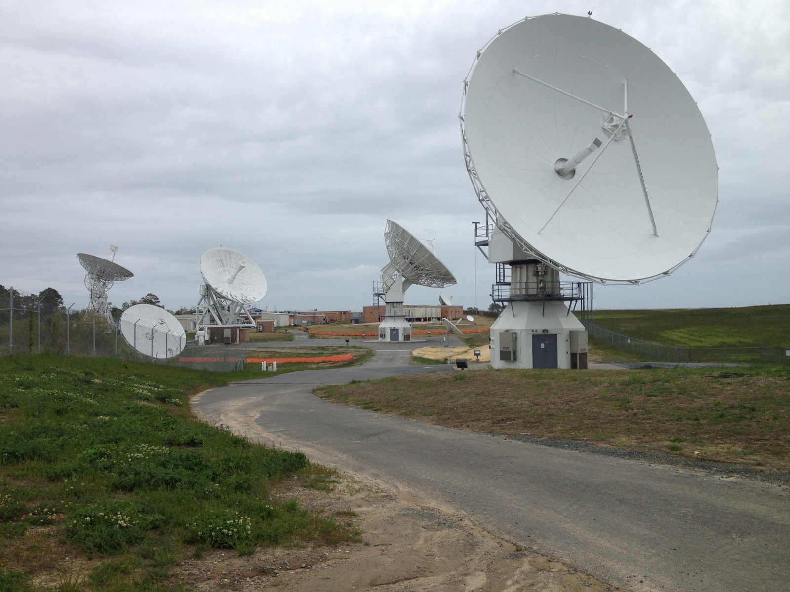
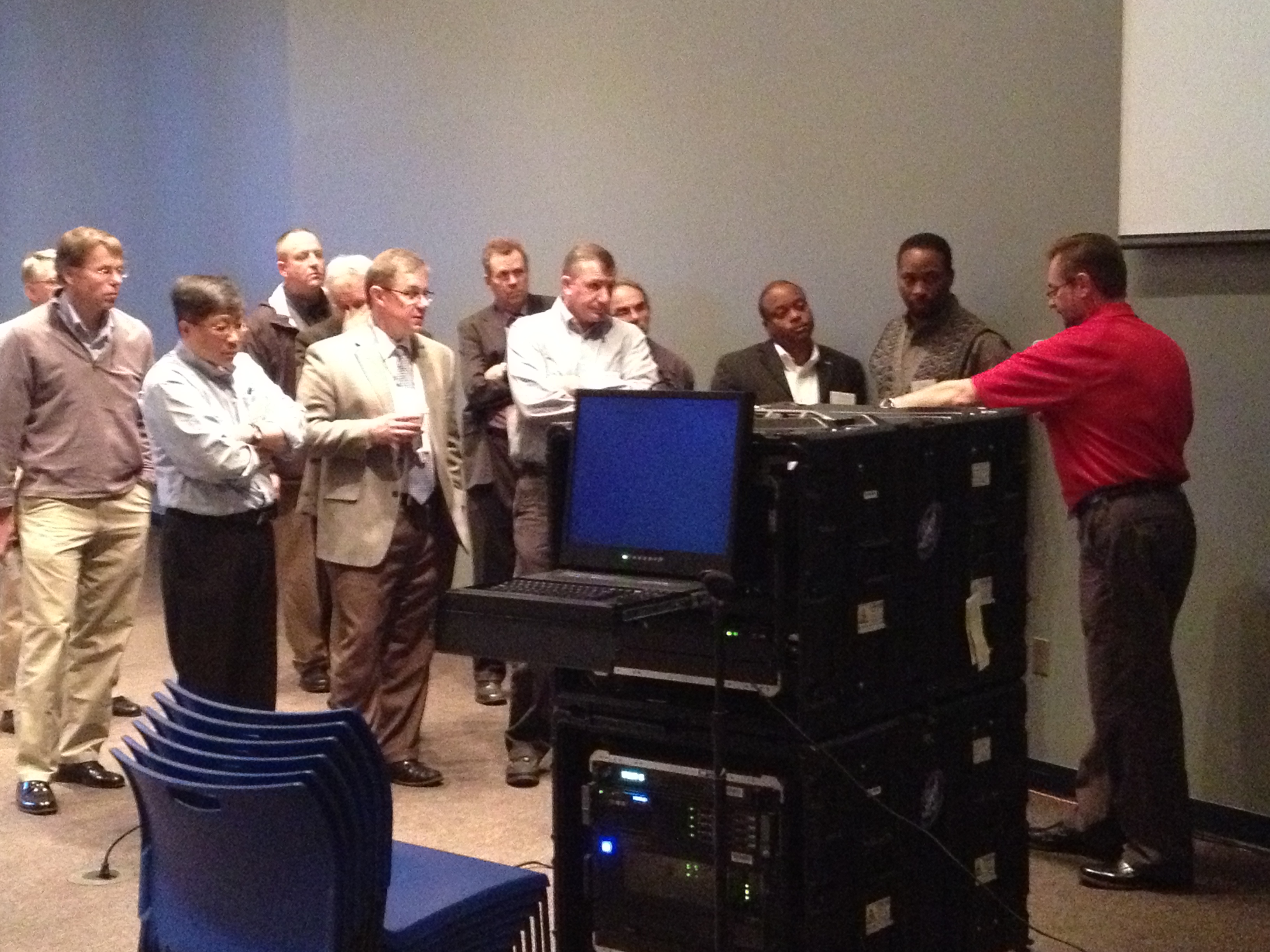
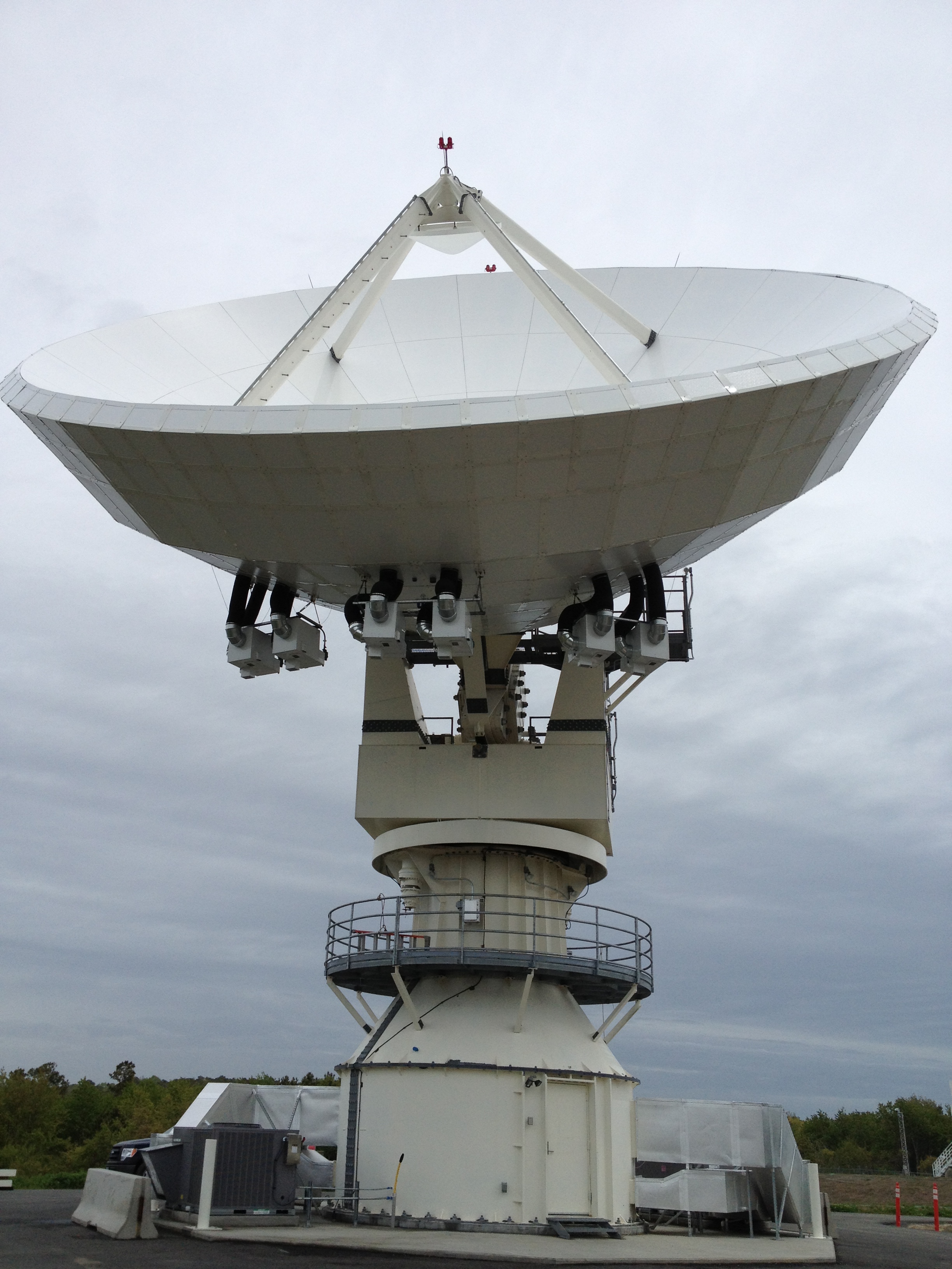
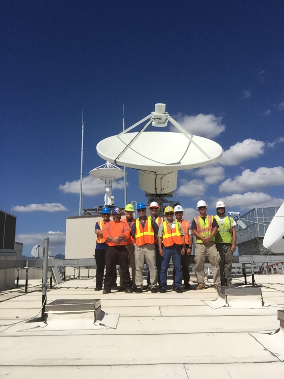
These are photos from development of latest GOES satellites. The operational data (not yet available) will be of the most value. These pictures are of lower value. GOES satellites are for weather and climate data.
Files
- ZIP77DA75F8-DF96-436B-8489-F3A5D47E9D5F.zip
- TXTbag-info.txt
- TXTbagit.txt
- TXTmanifest-md5.txt
- TXTtagmanifest-md5.txt
- HTML77DA75F8-DF96-436B-8489-F3A5D47E9D5F.html
- JSON77DA75F8-DF96-436B-8489-F3A5D47E9D5F.json
- TXTNOTES.txt
- PNG14212645029_3038953ac8_o.png
- JPEG14212663819_63eea00925_o.jpg
- PNG14212664380_5b9921e1bd_o.png
- JPEG14212825939_9cf1757bea_o.jpg
- JPEG14212849880_99f0f346bd_o.jpg
- JPEG14212906748_12d2f6c274_o.jpg
- JPEG14212920479_f4cd932400_o.jpg
- JPEG14212931020_a3eacbfa0a_o.jpg
- JPEG14212959388_9d98046a12_o.jpg
- JPEG14212959558_12c5c8fd15_o.jpg
- JPEG14212959928_150e7973f1_o.jpg
- JPEG14212983850_8a14d71a90_o.jpg
- JPEG14212984010_a4b630095c_o.jpg
- JPEG14213128307_2445bd2e72_o.jpg
- JPEG14376396326_9e05b666dd_o.jpg
- JPEG14376450046_034c531120_o.jpg
- JPEG14376450836_f2345919fc_o.jpg
- PNG14398126094_ff06881c1a_o.png
- JPEG14398217602_37c3d90f4a_o.jpg
- JPEG14398217632_40cd4fc865_o.jpg
- JPEG14398218062_c19f0d2944_o.jpg
- PNG14398474944_d1e52cf3de_o.png
- JPEG14398476304_6040a537e5_o.jpg
- JPEG14398476564_252f4fb557_o.jpg
- JPEG14399291165_f85a88557b_o.jpg
- JPEG14399510955_73edd09cf1_o.jpg
- JPEG14419732113_0a0f72e09f_o.jpg
- JPEG14419732293_a0ffc47cbc_o.jpg
- JPEG14419733263_0c0c83a4ca_o.jpg
- JPEG14433120659_3b6791abfd_o.jpg
- JPEG14433447907_bb85eaa2e1_o.jpg
- JPEG14506019384_8d19e95c04_o.jpg
- JPEG14617759894_2c557181f4_o.jpg
- JPEG14619837535_7623385e48_o.jpg
- JPEG24899676230_c8c9f236fc_o.jpg