L o a d i n g
Organization
National Renewable Energy Laboratory (NREL) - view all
Update frequencyunknown
Last updated2 weeks ago
OverviewAutoCADEGSEGS CollabLaser scanned drift mapLeapfrogSURFSanford Underground Research FacilityYates shaftbattery charging stationdrift mapenergyexperiment 2geothermalhydraulic fracturinghydraulic shearinglaser scannedlaser surveymappoint cloudremote sensingtestbed 2
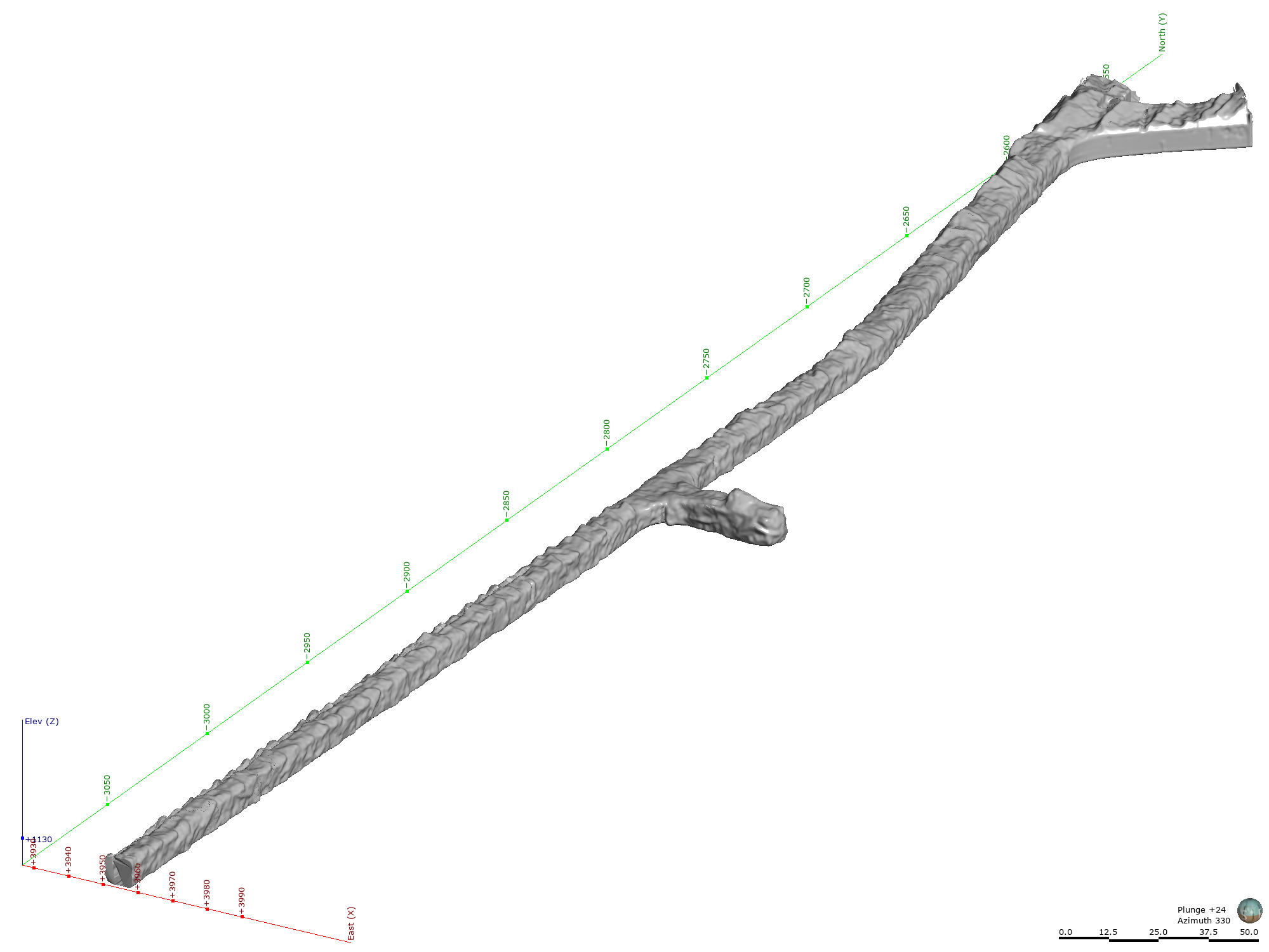
The EGS Collab project is evaluating a site for Experiment 2 (hydraulic fracturing/shearing) at a depth of 1.25 km in the Sanford Underground Research Facility (SURF) on the 4100 Level. Two early test holes were drilled in an alcove (formerly known as Battery Charging Station) near Yates Shaft. Recently, we conducted a laser survey around the Testbed 2 to capture the details of the drift. This submission package includes the laser scanned drift map around the Testbed 2. The drift map data are presented in AutoCAD (*dxf), Leapfrog mesh (*.msh), and point cloud (*.csv) file formats. Note: The coordinate system used is local Homestake Mine Coordinate (HMC) system from an old gold mine that was in operation for over 100 years.
Additional Information
KeyValue
Dcat Issued2019-12-19T07:00:00Z
Dcat Modified2023-10-19T00:23:28Z
Dcat Publisher NameIdaho National Laboratory
Guidhttps://data.openei.org/submissions/7329
Harvest Object Iddc3e8076-cd77-4343-96d4-1d25336e8e08
Harvest Source Id4eb7107f-a2b1-40e3-b36a-8161aa98a56e
Harvest Source TitleOpenEI Data Portal