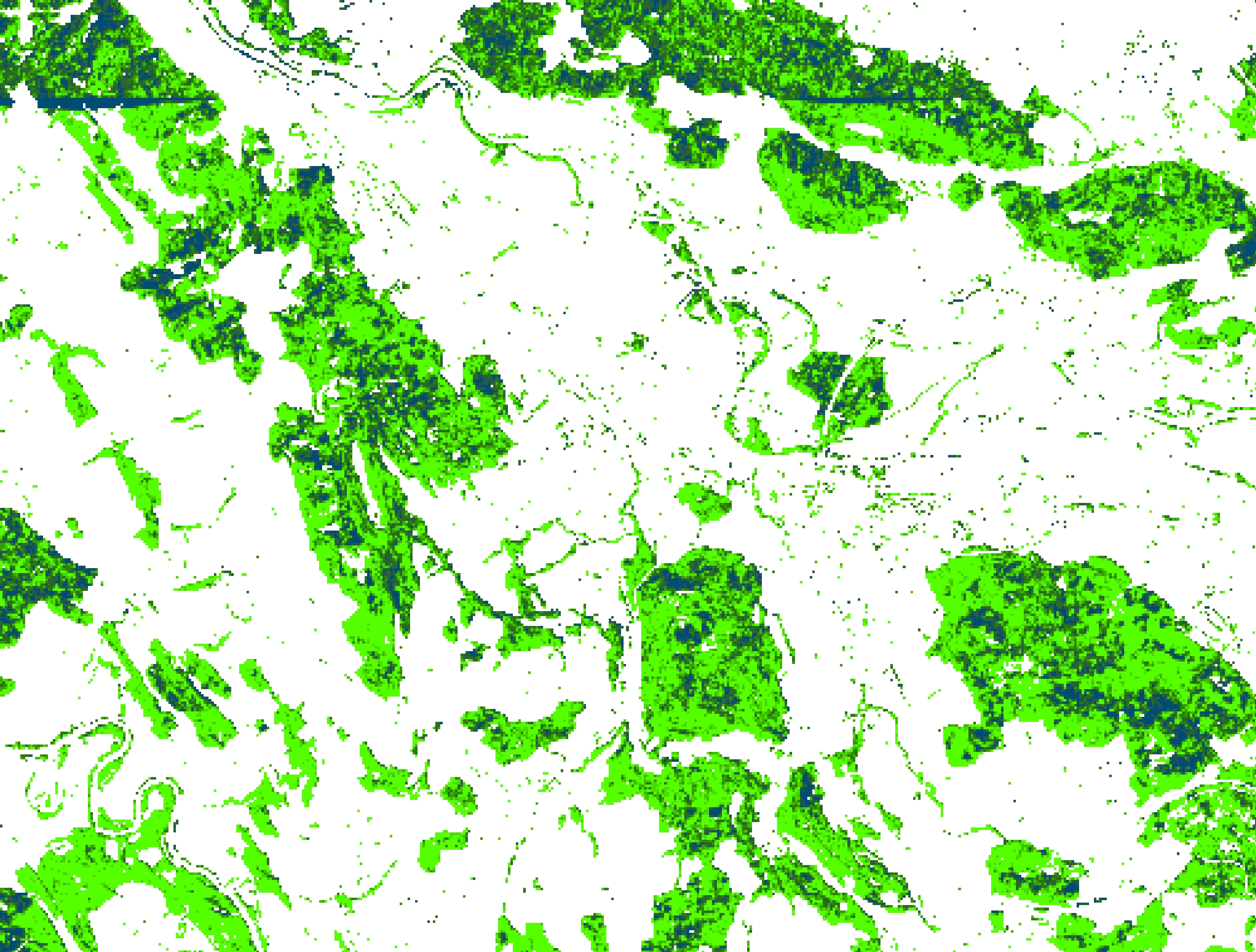
Two versions of the data are currently available: 2018 and 2016. The 2018 version presents a remote sensing-based approach for a countrywide mapping of the dominant leave type (DLT) with the two classes broadleaved and coniferous in Switzerland. The spatial resolution is 10 m with the fraction of the class broadleaf. The classification approach incorporates a random forest classifier, explanatory variables from multispectral Sentinel-2, multi-temporal Sentinel-1 data and a Digital Terrain Model (DTM) from Airborne Laser Scanning (ALS) data. The models were calibrated using digitized training polygons and independently validated data from the National Forest Inventory (NFI). Whereas high model overall accuracies (0.97) and kappa (0.96) were achieved, the comparison of the tree type map with independent NFI data revealed deviations in mixed stands. In the 2016 version (3 m spatial resolution), the classification approach incorporates a random forest classifier, explanatory variables from multispectral aerial imagery and a Digital Terrain Model (DTM) from Airborne Laser Scanning (ALS) data, digitized training polygons and independent validation data from the National Forest Inventory (NFI). Whereas high model overall accuracies (0.99) and kappa (0.98) were achieved, the comparison of the tree type map with independent NFI data revealed significant deviations that are related to underestimations of broadleaved trees (median of 3.17%).
L o a d i n g
Organization
Swiss Federal Institute for Forest, Snow and Landscape Research - view all
Update frequencyunknown
Last updated2 years ago
OverviewFORESTFOREST INVENTORYFOREST TYPENFIREMOTE SENSING
Additional Information
KeyValue
Harvest Object Id8a8a442e-1073-4421-8dfe-54745992b56c
Harvest Source Id8fc5dcf9-738c-468f-985c-d55347a92f88
Harvest Source TitleEnviDat