L o a d i n g
Overview.infoTfNSW trip Plannerbuson-demandshapefiletrip planner
This dataset will no longer be updated. Please use [GTFS-Flex v2](https://opendata.transport.nsw.gov.au/dataset/on-demand-timetables-gtfs) for On Demand boundaries. Basic Polygon layer for On Demand Bus regions that operate around NSW. These are used in the .info Trip Planner. An example of how it is used is shown below: 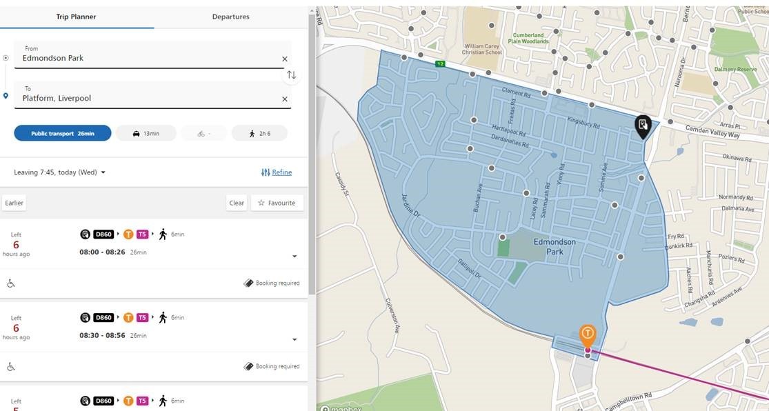
Additional Information
KeyValue
Harvest Object Id04651672-6b68-4291-991f-094a1247be7c
Harvest Source Iddf858780-376c-4c35-8914-1e33d0336116
Harvest Source TitleTransport for NSW Open Data Hub