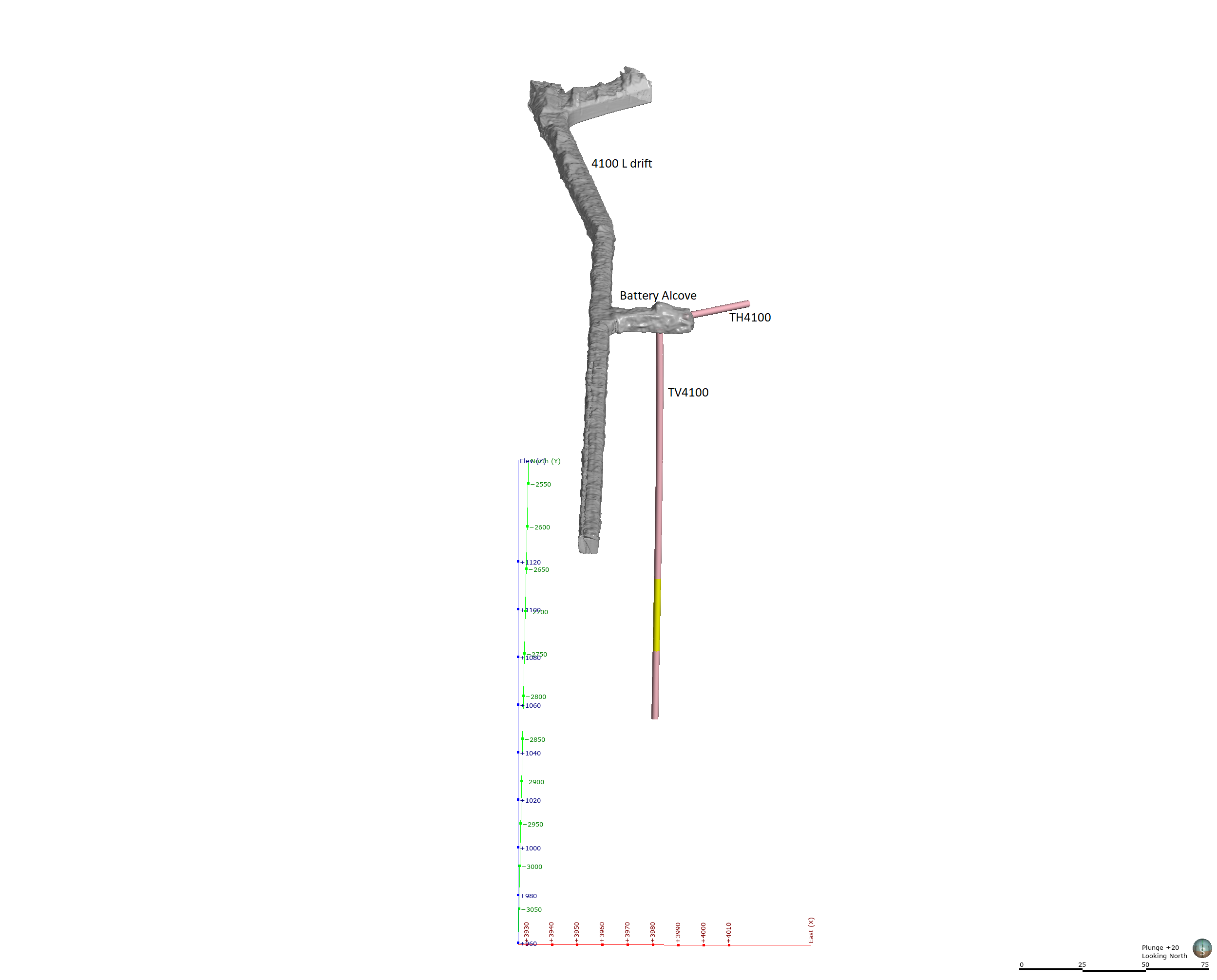
The EGS Collab project is evaluating a site for Experiment 2 (hydraulic fracturing/shearing) at a depth of 1.25 km in the Sanford Underground Research Facility (SURF) on the 4100 Level. Two early test holes were drilled in an alcove (formerly known as Battery Charging Station) near Yates Shaft. One of the test hole is about 50 m where as the other hole is about 10 m. This submission package includes well head locations, total lengths of boreholes, their orientations (gyro data). The reported boreholes orientation data were primarily obtained with REFLEX GYRO (TM) survey right after the completion of each hole. Well head locations were ascertained by Laser/LiDAR survey of the drift around the Testbed 2. Note: The coordinate system used is local Homestake Mine Coordinate (HMC) system from an old gold mine that was in operation for over 100 years.
L o a d i n g
Organization
National Renewable Energy Laboratory (NREL) - view all
Update frequencyunknown
Last updatedyesterday
OverviewEGSEGS CollabExperiment 2Homestake MineLeapfrogSIGMA-VSURFSanford Underground Research Facilityboreholecollar locationenergygeothermalgyrogyro datahydraulic fracturinghydraulic shearinglidarremote sensingtest wellstestbed 2well datawell locationwell locationswell orientationwells
Additional Information
KeyValue
Dcat Issued2019-12-19T07:00:00Z
Dcat Modified2023-10-19T00:23:58Z
Dcat Publisher NameIdaho National Laboratory
Guidhttps://data.openei.org/submissions/7328