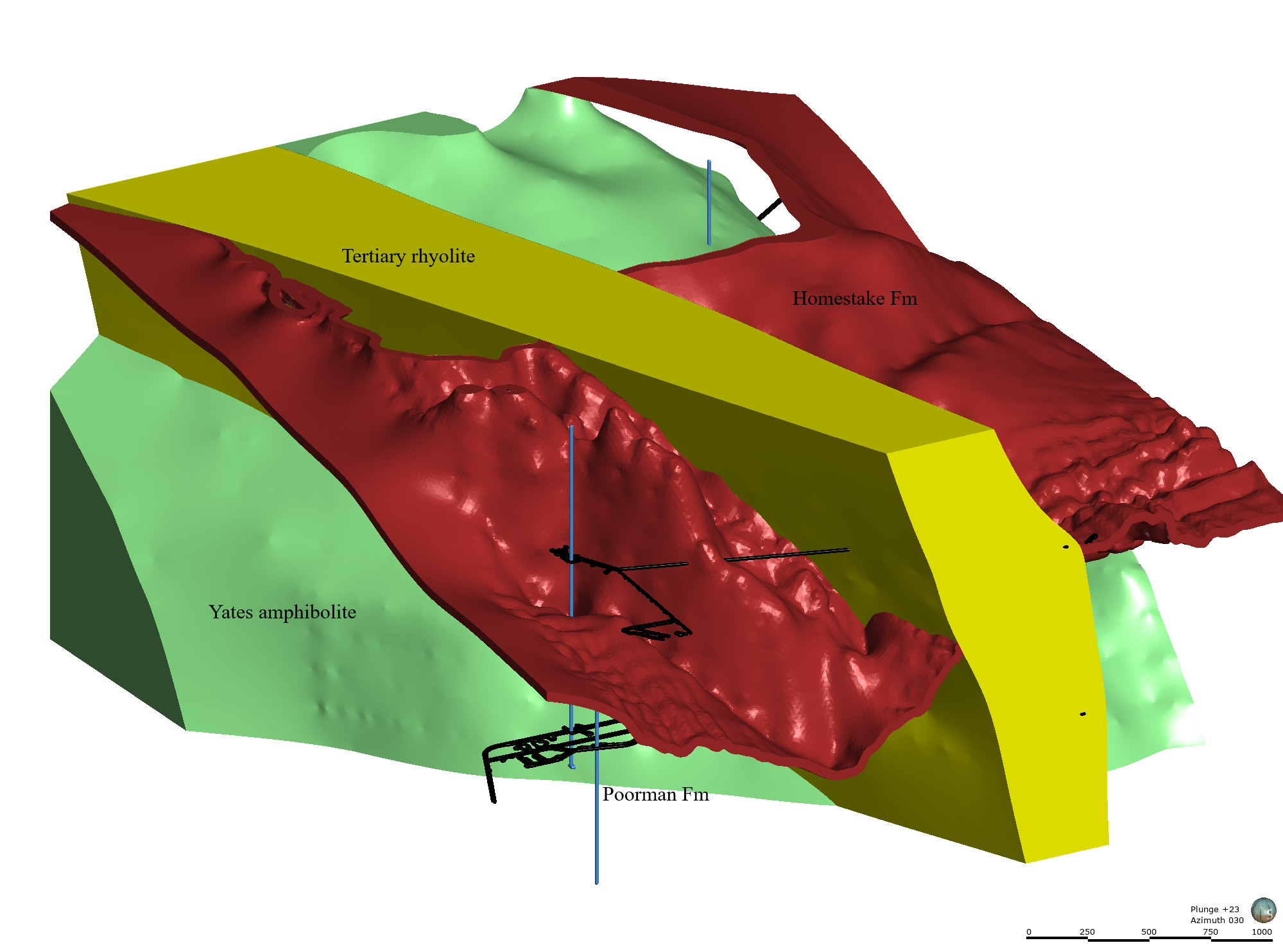
The EGS Collab is conducting experiments in hydraulic fracturing at a depth of 1.5 km in the Sanford Underground Research Facility (SURF) on the 4850 Level. A total of eight ~60m-long subhorizontal boreholes were drilled at that depth on the western rib of the West Access Drift. Six of these holes are used for geophysical monitoring, one is used for hydraulic fracturing and the remaining hole was designed as a production borehole. In addition to these eight boreholes, 4 5-m Jack leg boreholes were drilled for housing geophones. This submission package includes various data type that were assembled to create Earth Models of the testbed. Note: The coordinate system used is local Homestake Mine Coordinate (HMC) system from an old gold mine that was in operation for over 100 years.
L o a d i n g
Organization
National Renewable Energy Laboratory (NREL) - view all
Update frequencyunknown
Last updatedlast month
OverviewAutoCADEGSEGS CollabEarth ModelHomestake MineSURFSanford Underground Research Facilityboreholeenergyexperimentexperimentalfracturinggeologygeophonesgeophysical monitoringgeospatial datageothermalhydraulichydraulic fracturinginputjack leg boreholesmodellingsensorsstimulationsubhorizontal boreholestestbed 1well datawest access drift
Additional Information
KeyValue
Dcat Issued2019-12-19T07:00:00Z
Dcat Modified2023-10-19T00:23:00Z
Dcat Publisher NameIdaho National Laboratory
Guidhttps://data.openei.org/submissions/7330